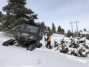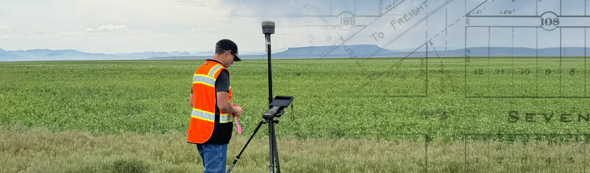
We are excited to bring our long-standing reliable track record of survey services to Great Falls!
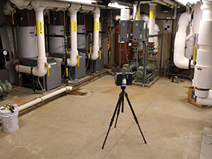
For more than 80 years, we have provided primarily civil, structural, mechanical, and electrical engineering capabilites in the surrounding area. Now, to better serve you and your projects, we are expanding our wide-range of survey services to the Great Falls area. With this expansion, we can help deliver solutions that are tailored just for you and your objectives.
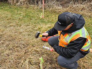
In many cases, all projects involving your property and land begin and end with a survey. That’s why we create solutions that are designed to meet your needs. Whether you’re a property owner or buyer, title company, Realtor, rancher, farmer, architect, or contractor, we’re ready to discuss ways to meet your goals.
Fill out the form on this page, send us a message, or simply pick up the phone. We’re excited to hear from you!
We can help with all your project needs